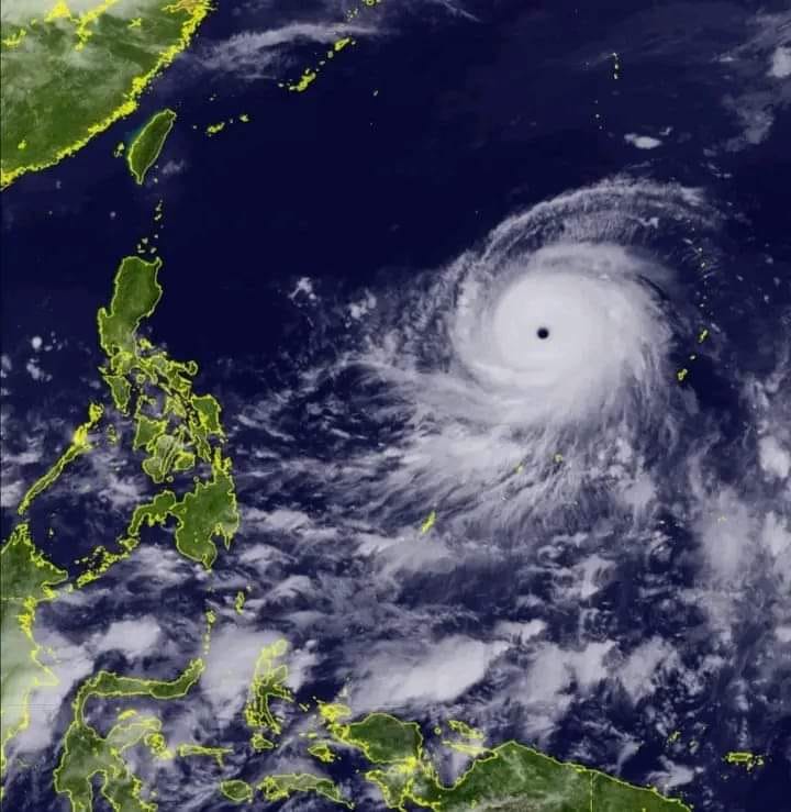
Napapanatili pa din ni Super Typhoon ang kaniyang lakas at ang banta nito sa Pilipinas.
Sa 11am weather bulletin ng PAGASA, namataan si Mawar 1,705 km East ng Southeastern Luzon taglay ang maximum sustained winds na 215kph malapit sa gitna at bugso na aabot sa 260 kph.
Super Typhoon MAWAR is forecast to track generally west northwestward until Sunday while accelerating before turning northwestward on Sunday,” ayon sa PAGASA “On the track forecast, the super typhoon will enter the Philippine Area of Responsibility (PAR) tonight or tomorrow early morning.”
Hindi man ito inaasahan na aabot sa kalupaan ng bansa, malaki ang tsansa na hahatakin nito ang habagat at magdudulot ng malalakas na ulan sa malaking bahagi ng bansa. “Strong to storm-force conditions may be experienced over Extreme Northern Luzon, while strong to gale-force conditions are possible over the northern and eastern portions of Northern Luzon mainland,” dagadag pa ng PAGASA.
